Time for a mind-bender!
If someone asked you to show them a map of the oceans, you would probably rely on what you learned back in elementary school to select something that looks like this:

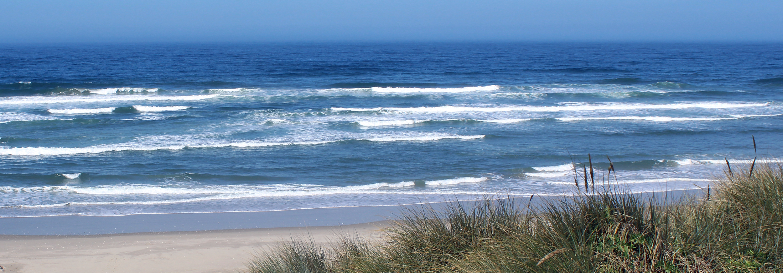
Seven continents. Seven oceans. North pole at the top. South pole at the bottom. Yep, that is how those of us in the United States learned to find ourselves on the spinning globe that sat on our teacher’s desk. In this view, the Salish Sea is located in the northeast corner of the Pacific Ocean.
Is that an inkblot?
I showed the following image to my family, asking if they knew what it was. They frowned at it, squinted at it, rotated it, and looked at me with suspicion. Parts of it were absolutely familiar (Is that Africa?), but they couldn’t figure it out.

Then I showed them the same image with a little more detail.

Ah-ha! The light bulbs went off. For the first time, they could see the entire World Ocean.
One World Ocean
Unless you consider yourself a passionate map geek (exploding fist bump if you do), I’m willing to bet that the name Spilhaus doesn’t ring a bell for you. Let me introduce you…
From 1942 to 1991, Dr. Athelstan Spilhaus, a South-African-born American geophysicist and oceanographer, developed a new map of our ocean. The resulting map is generally called the “Spilhaus Projection”.1 In 2018 the map gained a new audience after going viral on the Internet. And why wouldn’t it? It’s a fascinating image and very timely with the growing urgency for ocean conservation. It shows the World Ocean as it is – one big, contiguous body of seawater.
Why does it matter?
While this distorted view doesn’t accurately describe all of our continents, it drives home the point that our World Ocean is massive and our five ocean basins – Pacific, Atlantic, Indian, Arctic, and Southern – are all connected. The World Ocean covers 71% of the Earth.2 The seawater in the basins can sometimes resist mixing because of differences in chemistry and density, but they are all connected. Currents circulate carrying warm or cold water, nutrients, plankton, and increasingly, man-made debris. Weather patterns formulate and travel across them. Marine animals can move through them. Since they are all connected, it follows that what happens in one part of the World Ocean can eventually affect life on the other side of the planet.
Think globally, act locally
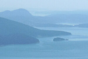
I find it somewhat daunting to wrap my head around trying to restore 71% of the planet. This must be where the idiom “Don’t boil the ocean” comes into play. I applaud and support conservation organizations doing work on a global scale. And yet, at the moment, I focus most of my time and energy on the Salish Sea, hoping I can make a difference here, knowing that our small inland sea is connected to the larger whole.
What happens far away will eventually affect us here. And vice versa. What we do here in the Salish Sea matters not only for our local ecosystem but to the global one as well.
Go Deeper!
Go Deeper to explore the ocean and the Salish Sea through a curated list of articles, books, films, and other resources.
To learn more about the topic in this article, check out the following resources:
- Bojan Šavrič, David Burrows, Melita Kennedy. The Spilhaus World Ocean Map in a Square
- John Nelson. Spilhaus? More like Thrillhaus
End Notes
1 Šavrič, Bojan, et al. “The Spilhaus World Ocean Map in a Square.” ArcGIS StoryMaps, Esri, 7 Feb. 2020, storymaps.arcgis.com/stories/756bcae18d304a1eac140f19f4d5cb3d.
2 US Department of Commerce, National Oceanic and Atmospheric Administration. “How Many Oceans Are There?” NOAA’s National Ocean Service, 1 June 2013, oceanservice.noaa.gov/facts/howmanyoceans.html.
Leave a Reply
Your comments are welcome.